


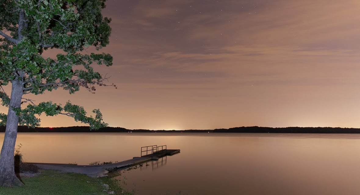
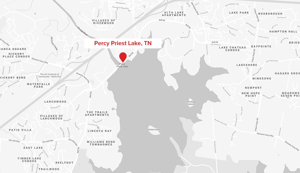
J. Percy Priest Lake in Tennessee is located 15 minutes from downtown Nashville. This 14,000-acre lake stretches over 42 miles that include areas of Davidson, Rutherford, and Wilson counties.
Managed by the U.S. Army Corps of Engineers, the lake is formed by J. Percy Priest Dam, located between miles six and seven of the Stones River. The dam (easily visible from Interstate 40) is about 10 miles east of downtown. The lake and dam are named for Congressman Percy Priest.
Percy Priest Lake is one of the most popular boating destinations in the region, attracting more than seven million visitors to its 34 recreation areas, 381 picnic sites, and 363 camping sites.
For boaters, there are 33 boat ramps and five marinas with nearly 1,800 slips available. The average depth is 29 feet, but the deepest part of J. Percy Priest Lake is in the main river channel about 1/2 mile upstream of the dam at approximately 100’.
The elevation of the lake varies from a winter low of about 483' above mean sea level to a summer recreation pool of 490’.